
UK Weather set to worsen with warnings for high winds and snow
6 January 2020, 07:25


Weather warnings are in place for high winds, with forecasters advising heavy rain could turn to snow in some areas.
Authorities have issued a yellow weather warning for wind for north-western Scotland and north-eastern England on Tuesday for 16-hours from 5am to 9pm on Tuesday.
A yellow warning indicates chances of 'injuries and danger to life'.
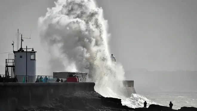
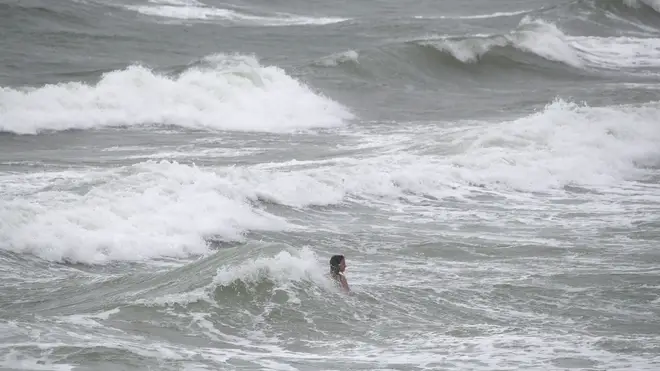
Officials have told the public to stay away from the sea fronts, coastal roads and properties as gusts are expected to reach up to 80mph.
There are also warnings of possible traffic disruption due to longer journey times, road closures and public transport cancellations.
The Met Office said: “It looks likely to stay unsettled across the North West with spells of locally heavy rain and strengthening winds interspersed with scattered showers.
“These showers could turn to snow over higher ground in the north. Across the South East it should be more settled with light winds and longer drier, brighter periods with some sunshine possible at times.”
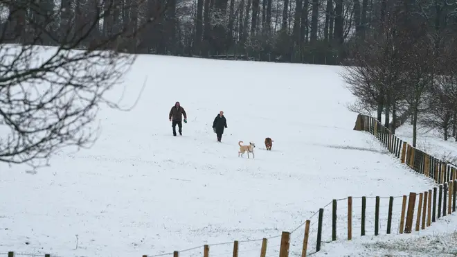
The heaviest snowfall is expected on January 16, with snow predicted to reach as far south as Birmingham, Cardiff and Belfast.
But it's not all bad news, forecasters have said this week will be "unusually mild"
Met Office meteorologist Marco Petagna said: “There is a big change in the weather on the way with this week looking pretty unsettled for many parts of the UK.
“There will be a risk of gales in northwestern regions at the start of the week with gusts reaching 60 to 70mph or possibly 80mph in the most exposed areas.
“One low-pressure system will come in on Monday followed by another on Tuesday and a third on Thursday.
“The centres of these lows are over Iceland, our wet and windy weather will be associated with these lows.
“There will be a risk of severe gales on Tuesday before it turns briefly calmer but colder on Wednesday, another low pressure comes in on Thursday.”
Mr Petagna said: “It is going to be unusually mild through much of the week and we could see temperatures in the mid-teens.
“While there is air coming in from quite far south, around the Azores, the high temperatures will be driven by the foehn effect which sees air fall over the hills drying, compressing and warming as it does.
“On Wednesday it will be colder especially across Scotland and the north where it will still be quite windy, we could see snow over the hills and even to lower levels at times.
“By the end of the week it looks as though the worst of the weather will remain over northern Britain with drier conditions starting to set in further south.
“These low-pressure systems will be steered in by the jet stream which is very strong at the moment as it travels across the Atlantic from America."