
Map shows exact places snow likely to fall amid freezing Arctic blast, before return of warm weather for Bank Holiday
25 April 2024, 08:48
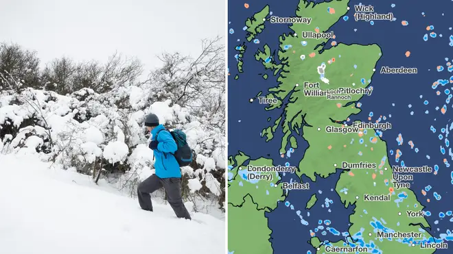


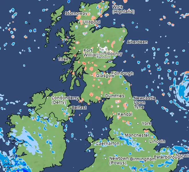
A map has revealed the places snow is likely to fall in the UK, as temperatures remain unseasonably cold.
Listen to this article
Loading audio...
The Met Office said in its forecast for Thursday that there would be "a cold but often bright start to the day for many."
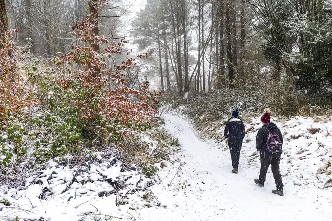
Forecasters added that there would be "sunny spells with a few showers, which could be heavy at times", across the UK, which could "turn wintry over hills in the north."
They said that temperatures would be "feeling chilly, especially in the north and east."
On Friday, "sleet and snow" could fall in hilly parts of the UK, the Met Office said.
Forecasters said of April 26: "Another chilly start. Showers continuing in the north and east, with some sleet and snow over the hills. Rain arriving in the southwest later. Feeling chilly despite the light winds."
Forecasters said that the reason for the unseasonably cold weather is that the air is coming to the UK from the Arctic.
The Met Office's Ellie Glaisyer said: "The reason for the low temperatures is that we've got an area of high pressure out west.
"That gives us a northerly wind across the UK, particularly across eastern parts.
"This is bringing us slightly below-average temperatures, as the air is coming from towards the Arctic."
But a recent forecast has suggested temperatures could soar in just a few days, reaching as high as 20C and bringing an end to the recent cold snap.
WXCharts have suggested East Anglia and the South East could experience warmer weather at the start of next month.
It could reach as high as 20C on May 5 and 6.

According to the Met Office's long-range forecast, which runs from May 6 to May 20, temperatures are likely to get warmer.
While it may remain a cooler start to next month, temperatures will start to rise quite rapidly.
Temperatures are "likely to recover to around or a little above average as the period progresses", the Met Office predicted.
"Also worth noting that average temperatures themselves rise by around 1C per week at this time of year," they added.